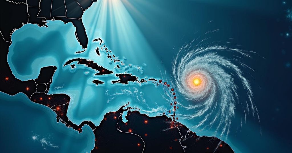
Storm Tracker Update: Monitoring Tropical Storm Joyce, Hurricane Isaac, and New Developments in the Caribbean

The National Hurricane Center is tracking Tropical Storm Joyce and Hurricane Isaac while monitoring a potential new storm forming in the Caribbean. Hurricane Helene’s remnants continue to impact the Southeast. Joyce is expected to weaken with no threat to land, and Isaac is likely to become a post-tropical cyclone soon. A new system may develop into Tropical Storm Kirk with a 40% chance of formation next week, while another system in the Atlantic has a 60% chance of development.
The National Hurricane Center (NHC) is closely monitoring two named storms in the Atlantic, namely Tropical Storm Joyce and Hurricane Isaac, alongside a potential new system developing in the Caribbean region. Following the devastation from Hurricane Helene, which caused a death toll surpassing 43 and significant financial losses, the focus now shifts to the evolving weather patterns in the Atlantic. Hurricane Helene, which has weakened into a post-tropical cyclone, is expected to bring rain and wind impacts to the areas along the Kentucky-Tennessee border on Saturday, moving across southern Pennsylvania and Virginia before dissipating into the ocean by Tuesday. Concurrently, Tropical Storm Joyce, situated approximately 1,120 miles east of the Northern Leeward Islands, has formed in the central tropical Atlantic with maximum sustained winds of 50 mph and tropical storm-force winds extending up to 105 miles from its core. The storm is anticipated to weaken and ultimately degenerate into a remnant low by early Tuesday, presenting no threat to land. Hurricane Isaac, currently classified as a Category 2 hurricane, is located about 695 miles west-northwest of the Azores. It is moving east-northeast at a pace of 20 mph and is projected to transition to a post-tropical cyclone by Monday, with sustained winds reaching up to 105 mph. Additionally, the NHC has indicated that a low-pressure system may develop over the western Caribbean Sea, with favorable environmental conditions suggesting a likelihood of transition into a tropical depression by mid to late next week. Should this system strengthen, it may be designated as Tropical Storm Kirk. The NHC has assessed a 40% probability of development within the upcoming seven days. Furthermore, another tropical depression could potentially emerge in the eastern and central Atlantic next week, with a 60% chance of formation as it continues its west and northwest trajectory in the Atlantic region.
The Atlantic hurricane season has seen significant activity this year, with major storms creating substantial impacts on affected areas. Following Hurricane Helene’s aftermath, the National Hurricane Center remains vigilant in tracking the changes in atmospheric conditions that lead to tropical storm formations. Understanding storm paths, potential development of new systems, and their projected impacts on populated areas is crucial for timely preparedness and risk mitigation. Monitoring technologies, including advanced spaghetti models, assist forecasters in predicting storm trajectories and interactions with other weather patterns leverage environmental conditions conducive for storm development.
In summary, the National Hurricane Center is actively monitoring Tropical Storm Joyce and Hurricane Isaac, as well as a potential new storm brewing in the Caribbean. While Joyce is expected to weaken and present no threats to land, Hurricane Isaac is forecasted to lose its tropical classification shortly. Meanwhile, the Caribbean system shows promise for development and could pose new challenges moving into the Gulf of Mexico next week. Preparedness and awareness in the face of evolving weather patterns remain imperative.
Original Source: www.usatoday.com


