October 19 Weekend Warm-Up and Tropical Storm Nadine Update

On October 19, 2024, a significant warm-up follows a period of cold weather in the Baltimore area, with high pressure ensuring dry conditions, while Tropical Storm Nadine forms in the Western Caribbean, projected to move westward without impacting the U.S.
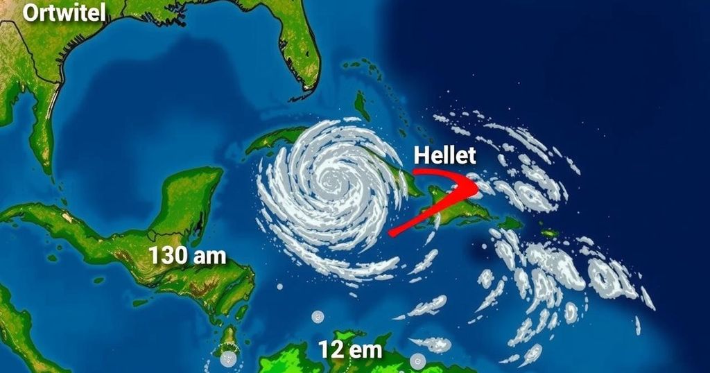
On October 19, 2024, a notable weather transition is occurring as the chilly air recedes, giving way to a significant warm-up for the weekend. This date has historically marked both unusually cold and notably warm temperatures. Specifically, in 2015, a record low of 29°F occurred, whereas the following year, a record high of 87°F was recorded. Moreover, in 1940, Baltimore experienced its earliest recorded snowfall, totaling 1.3 inches between the 19th and 20th of October. Currently, high pressure dominates the region, leading to stable and dry weather conditions. In terms of temperature, it is anticipated that the thermometer will rise close to 80°F in a few days. Turning to tropical developments, Tropical Storm Nadine has formed in the Western Caribbean, with its maximum sustained winds reaching 40 mph, and the storm is expected to follow a westward trajectory away from the United States. A Tropical Storm Warning is in effect from Belize City, Belize, to Cancun, Mexico, including Cozumel. This morning’s weather conditions indicate a retreat of frost advisories predominantly to Frederick County in Maryland and neighboring southern Pennsylvania counties, confirming that much of the area will remain dry and stable for the upcoming week, with additional warming expected into midweek before another cool-down arrives. Local climate data indicates a sunrise at 7:21 AM and sunset at 6:21 PM for October 19, with a normal low of 45°F and a normal high of 67°F. Following this trend, the weather forecast suggests continued unremarkable weather patterns through to next week, with a return of cooler, seasonal conditions anticipated by Thursday and Friday.
October typically presents a mix of weather patterns ranging from cool temperatures and the possibility of frost to unseasonably warm days. October 19 has been significant in historical climatology, showcasing examples of both extremes in weather. Recognizing these patterns aids in understanding current forecasts and climatic trends. The formation of Tropical Storm Nadine highlights the ongoing activity in tropical regions, with the potential for weather impacts being a consideration for coastal areas, although Nadine’s path appears to steer clear of direct impacts on the US mainland.
In summary, October 19, 2024, will herald a warming trend after a brief cold spell, with temperatures nearing 80°F as a stable high-pressure system takes command of the local weather. Meanwhile, Tropical Storm Nadine will be monitored but is expected to travel away from the United States without direct consequences. This weekend suggests pleasant weather conditions for outdoor activities, with a reminder that temperatures will once again cool by the end of the week.
Original Source: justinweather.com


