Anticipated Tropical Development in the Caribbean This Week

The Caribbean is expected to see potential tropical development later this week, with forecasts indicating the formation of a tropical depression. The system may experience challenges due to wind shear and dry air. While it could lead to heavy rain and flooding in the eastern Caribbean, it poses no immediate threat to the continental U.S. or Florida, as protective wind shear is currently in place.
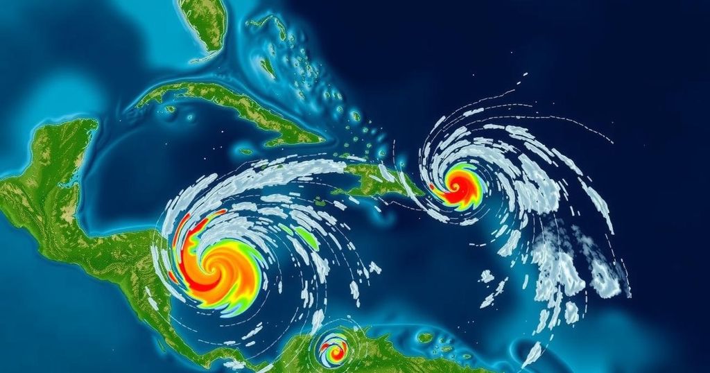
A potential for tropical development is anticipated in the Caribbean as we approach the end of October and transition into November. According to the National Hurricane Center, an area designated for possible tropical development has emerged, suggesting the formation of a tropical depression by late this week as it moves across the central or southwestern Caribbean Sea. This system is expected to originate from a clash of winds between the Atlantic and Pacific Oceans, leading to significant storm activity in the Isthmus of Panama. Additionally, a quick-moving dip in the jet stream forecast for Friday to Saturday could provide an energy boost, potentially expediting development. However, this scenario is complicated by surrounding wind shear and dry air that could inhibit effective organization, subsequently diverting associated weather patterns towards the eastern Caribbean. The circumstances may prolong the system’s presence in the Caribbean if it takes time to develop and gain organization. Computer models indicate that a robust area of high pressure will establish itself in the eastern United States and Florida by week’s end, which would suppress thunderstorm activity and create breezy conditions across South Florida. This high pressure is likely to hinder the anticipated northward movement of the system, causing it to linger in the Caribbean. As a result, it is plausible that the system may drift aimlessly within the Caribbean and could even move westward into the following week. While the forecasting models display varying predictions regarding its ultimate trajectory, if it remains stationary for an extended period of six to seven days, there is a heightened risk of heavy rainfall and flooding in central and eastern Caribbean regions, including Jamaica, Haiti, the Dominican Republic, and parts of Puerto Rico. Currently, this weather system does not pose a threat to the continental United States or Florida. A prevailing wind shear is expected to safeguard the coastal areas from impacts, while high pressure will keep the late-season disturbances confined to the southern regions. Continuous monitoring of the situation will be essential should this system persist into the next week, although climatological trends suggest challenges for development as November approaches.
As the Caribbean enters the later months of the hurricane season, meteorological observations indicate a growing concern for possible tropical development. The National Hurricane Center plays a crucial role in tracking these systems and forecasting potential storms. The interaction of wind patterns and atmospheric conditions significantly affects the development and movement of tropical systems, particularly as they engage with seasonal changes that can inhibit or facilitate storm formation. Experts often emphasize the significance of climatological factors that can influence the likelihood and severity of storms as the calendar shifts to November, a period historically characterized by decreased tropical activity.
In summary, the Caribbean is bracing for a potential tropical development later this week, with forecasts suggesting the formation of a tropical depression as conditions evolve. The presence of wind shear and high pressure may dictate the system’s trajectory and slow its progression, leading to adverse weather impacts such as heavy rain and possible flooding in parts of the Caribbean. However, for the mainland United States, there appears to be no immediate cause for concern as protective atmospheric conditions currently in place shield these regions from potential tropical disturbances. Ongoing observation and analysis will be vital in understanding the development of this system in the coming days.
Original Source: www.local10.com


