Current Monitoring of Tropical Systems by the National Hurricane Center

The National Hurricane Center is observing three tropical systems in the Atlantic and Caribbean. The system in the Southwestern Caribbean has a 60% chance of development, while a trough near Puerto Rico holds a 10% chance and a non-tropical low in the North Atlantic has a 20% probability of evolving into a cyclone. Heavy rainfall is expected across affected regions regardless of development, emphasizing the need for preparedness during this season.
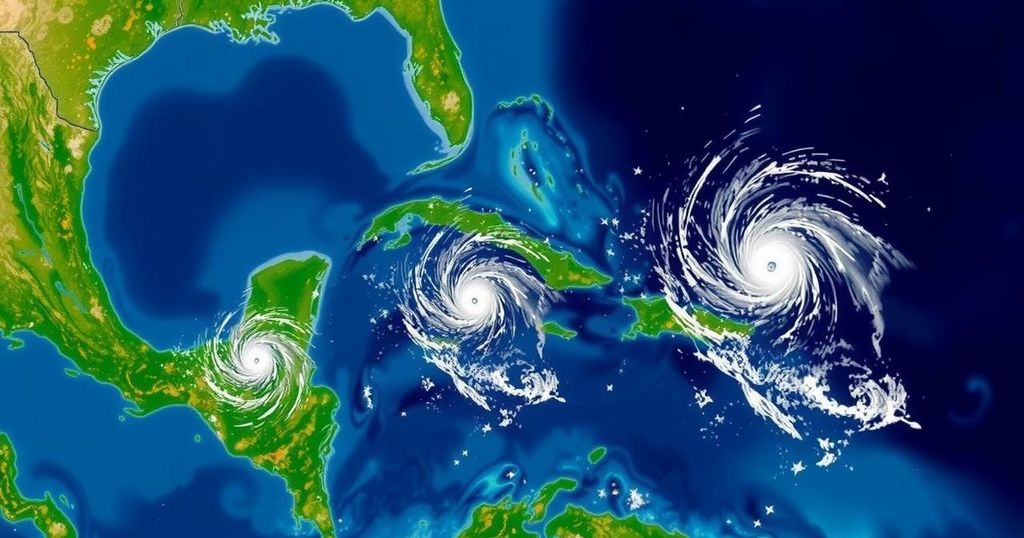
As of Thursday afternoon, the National Hurricane Center is diligently observing three distinct areas of interest within the Atlantic Ocean and Caribbean Sea. Firstly, the system located in the Southwestern Caribbean Sea demonstrates increasing potential for development. A broad region of low pressure is anticipated to form in the southwestern Caribbean within the next couple of days, with the possibility of gradual development thereafter. A tropical depression may materialize over the weekend or early next week as the system drifts generally northward or northwestward across the central or western Caribbean. Even in the absence of development, significant rainfall is expected over the upcoming days, particularly affecting areas from Nicaragua southwards and eastwards towards northern Colombia. Currently, there is a 60% probability of formation over the next week, an increase from 40% reported a day prior. Furthermore, the National Weather Service in Jacksonville has indicated that threats originating from the Northwest Caribbean Sea or the Southeast Gulf of Mexico are common during this season. Historically, storms arising from these regions often traverse South Florida or more commonly Cuba before progressing towards the Bahamas, as exemplified by Storm Michelle in 2001. Notably, deviations from this pattern have occurred, as seen with Storms Kate in 1985 and Nicole in 2022. The second area of concern is located in the Northeastern Caribbean Sea and near the Greater Antilles, where a trough of low pressure situated near Puerto Rico is resulting in extensive cloud cover and showers across the Dominican Republic, Puerto Rico, the Virgin Islands, and northern Leeward Islands. Slow development of this particular system is plausible within the next 2-3 days as it advances west-northwestward in proximity to the Greater Antilles. Subsequently, it is expected to merge with the low-pressure area in the Caribbean. Regardless of any development, heavy rains are likely over the next several days, affecting the northern Leeward Islands, Puerto Rico, Hispaniola, eastern Cuba, and the southeastern Bahamas. Currently, this system possesses a 10% chance of formation over the next 2-7 days. Lastly, in the North Atlantic region, showers and thunderstorms have manifested around the center of a storm-force non-tropical low pressure system approximately 550 miles west of the western Azores. Although the chance of this system evolving into a subtropical or tropical cyclone exists, significant development is not anticipated as the system progresses eastward over the coming days. It currently carries a 20% likelihood of formation within the upcoming week. The next designated tropical cyclone will be named Patty.
The National Hurricane Center, a division of the National Oceanic and Atmospheric Administration, plays a vital role in monitoring tropical systems that may develop in various oceanic regions. Florida, particularly, is susceptible to formations arising in the Caribbean and Gulf of Mexico due to its geographical location. This time of year, especially in October, sees an uptick in tropical storm activity as conditions align for potential cyclogenesis—forming new tropical storms or hurricanes. Understanding the climatic patterns and historical data enables forecasters to predict storm paths and impacts, which is crucial for the safety of residents and preparedness efforts in affected areas. Monitoring focuses on observed changes in weather patterns, atmospheric pressure, and moisture levels, which can indicate potential storm formation. The National Weather Service also provides insights into potential impacts, emphasizing the importance of staying informed through official channels of communication during hurricane season.
In summary, the National Hurricane Center is currently monitoring three systems in the Atlantic and Caribbean that exhibit varying potentials for development. The primary focus is on the southwestern Caribbean Sea system, which has seen an increase in the likelihood of formation amid expectations of heavy rainfall across several regions. Additional areas of concern include a trough near Puerto Rico, which may develop slowly, and a non-tropical system in the North Atlantic that carries limited prospects for evolution into a tropical cyclone. As these weather systems evolve, residents are urged to stay informed and prepared for potential impacts. Preparedness and vigilance remain critical during this active hurricane season, as systems may change direction and form rapidly, requiring timely responses from authorities and residents alike.
Original Source: www.news4jax.com


