National Hurricane Center Monitoring Three Disturbances in the Atlantic

The National Hurricane Center is tracking three systems in the Atlantic, with one likely to become a tropical depression shortly. The main system has a 70% chance of development, while two others show low chances but may produce heavy rains in affected areas over the coming days.
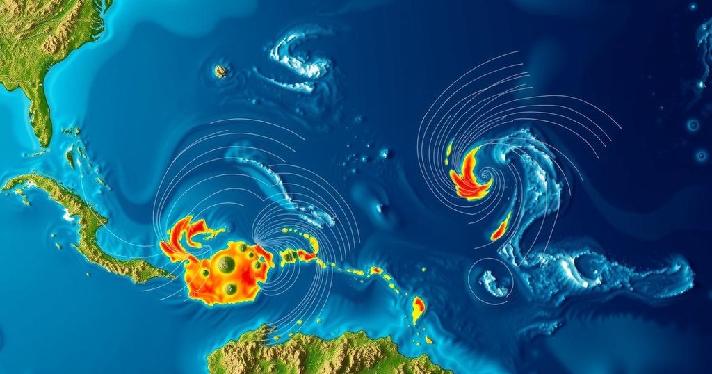
The National Hurricane Center (NHC) announced on Friday that it is currently monitoring three weather disturbances in the Atlantic Ocean, one of which is projected to develop into a tropical depression in the near future. The NHC indicated that a broad area of low pressure is expected to form over the southwestern Caribbean Sea within the next 24 hours, with gradual development anticipated thereafter. According to forecasts from the hurricane center, “A tropical depression is likely to form late this weekend or early next week while the system drifts generally northward or northwestward over the central of western Caribbean Sea.” However, regardless of development, the NHC warns that locally heavy rainfall is possible in adjacent land areas of the western Caribbean. The likelihood of this system developing into a tropical depression is estimated at 70 percent over the next week. The next names on the list for the 2024 Atlantic hurricane season are Patty and Rafael. In addition to the primary system, the hurricane center is also observing two other weather disturbances in the Atlantic, both of which have a low probability of developing. The first is characterized by a trough of low pressure near Puerto Rico, which is generating a wide area of showers and thunderstorms over parts of the Greater Antilles, as well as the surrounding Atlantic and northeastern Caribbean waters. The NHC notes that “Slow development of this system is possible during the next few days as it moves west-northwestward near the Great Antilles,” although it is expected to merge with the low-pressure area in the Caribbean after this time. Furthermore, heavy rainfall is anticipated from the northern Leeward Islands extending through Puerto Rico and Hispaniola to eastern Cuba and the southeastern Bahamas, even in the absence of significant development. The second system under observation is described as a storm-force non-tropical low-pressure area approximately 400 miles west of the Azores. This system is producing limited shower activity, yet some subtropical development could occur as it moves eastward in the coming days, as per NHC assessments.
In the Atlantic, hurricane tracking is a crucial process during hurricane season when numerous weather systems can develop into severe storms or hurricanes. The National Hurricane Center monitors these systems closely, providing forecasts and updates to mitigate potential risks to coastal communities. The development of tropical depressions and storms is influenced by various atmospheric and oceanic conditions, which the hurricane center analyzes to predict future movements and intensification.
The National Hurricane Center continues to monitor three weather disturbances in the Atlantic, with one system showing a significant probability of development into a tropical depression. This development may occur over the weekend, while the other two systems remain less likely to form but still pose risks of heavy rainfall across several Caribbean regions. Public vigilance is encouraged as conditions evolve.
Original Source: www.usatoday.com


