National Hurricane Center Tracks Threatening Tropical Disturbances

The National Hurricane Center is monitoring three disturbances that may develop into tropical or subtropical cyclones, with one likely to enter the Gulf of Mexico next week. Residents are advised to stay vigilant as the hurricane season continues.
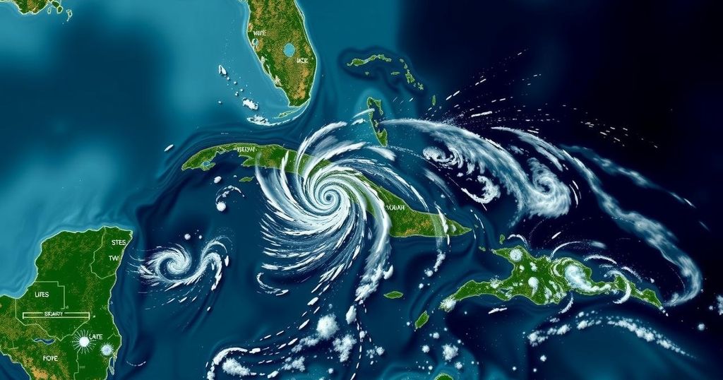
The National Hurricane Center (NHC) is currently monitoring three significant disturbances that may evolve into tropical or subtropical cyclones. One of these disturbances is anticipated to develop into a system within the Gulf of Mexico in the forthcoming week. Reports from the NHC indicated that an extensive low-pressure area is expected to form over the southwestern Caribbean Sea shortly. There is a possibility for gradual development, with the formation of a tropical depression projected for late this weekend or early next week as the system progresses slowly northward or northwestward across the central or western Caribbean Sea. The NHC has highlighted that even without formal development, regions in the western Caribbean could experience substantial rainfall. Currently, the NHC estimates a 60% likelihood of tropical cyclone formation within the next seven days. Global forecasting models are increasingly indicating that this disturbance may migrate into the Gulf of Mexico as the week unfolds, potentially resulting in a tropical storm or something more severe. However, it remains premature to assert this definitively, and residents along the U.S. Gulf Coast are reminded that the hurricane season continues until the month’s end. In addition, the NHC is actively surveilling the northeastern Caribbean Sea and the Greater Antilles. Observations and satellite wind data suggest that a trough of low pressure situated near Puerto Rico is generating widespread cloudiness and precipitation across the Dominican Republic, Puerto Rico, the Virgin Islands, and adjacent waters. The NHC posits a slow development is feasible over the next two to three days as this system shifts west-northwestward towards the Greater Antilles. Ultimately, this system is expected to merge with the prevailing low-pressure area over the Caribbean. Regardless of development, significant rainfall can be anticipated for several days across the northern Leeward Islands, Puerto Rico, Hispaniola, eastern Cuba, and the southeastern Bahamas. The third area of concern identified by the NHC lies in the far northern Atlantic. Approximately 450 miles west of the Azores, a storm-force non-tropical low pressure system is generating minimal shower activity. There exists potential for subtropical development as this low continues to advance eastward in the coming days. Presently, the NHC assesses a 20% probability for the emergence of a subtropical storm in this region over the next week.
The article addresses the current conditions and potential developments in the Atlantic at the height of hurricane season, which can pose risks to coastal communities. The National Hurricane Center (NHC) is an authoritative body that provides updates and forecasts regarding tropical weather systems, assessing threats in real-time. Monitoring the Caribbean and Atlantic regions is crucial, particularly during hurricane season, as these areas frequently experience tropical cyclone formation. The complexities of weather system behavior require continuous observation and analysis to provide timely alerts to vulnerable populations.
In summary, the National Hurricane Center is vigilantly tracking three disturbances that hold the potential for further tropical or subtropical development, particularly in the Gulf of Mexico, where a significant system may emerge. Residents and authorities are advised to remain alert as the hurricane season progresses, as unpredictable conditions can lead to severe weather events. Essential updates will continue to be disseminated as forecasts evolve.
Original Source: weatherboy.com


