NHC Monitors Three Disturbances: Potential for Tropical Storm Patty

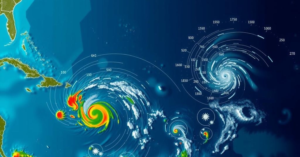
The National Hurricane Center is monitoring three disturbances, with one likely to develop into Tropical Storm Patty. There is a 60-90% chance of this disturbance forming a tropical depression in the Caribbean as forecasters predict changing atmospheric conditions favorable for development. Depending on high pressure systems, the storm may take two potential paths affecting either Central America or the Gulf Coast.
The National Hurricane Center (NHC) is currently monitoring three disturbances in the Atlantic, one of which has a significant potential to develop into Tropical Storm Patty. According to NHC forecasts, there is a 60% chance that a broad area of low pressure forming over the southwestern Caribbean Sea could evolve into a tropical depression by this weekend or early next week. Contrarily, AccuWeather forecasters suggest a higher probability, estimating nearly a 90% chance of development. The trajectory and strength of the developing system remain uncertain. Meteorologists indicate that a high-pressure system forming over the U.S. East Coast next week may influence its movement. Potential paths include a southern trajectory toward Central America or a more northern track that could impact the eastern Gulf Coast around November 6-11. Grady Gilman, an AccuWeather Meteorologist, elaborated on this uncertainty, stating, “Should tropical development occur in the Caribbean Sea next week, there are two scenarios for movement: one toward Central America and another near the Yucatan Peninsula.” The atmospheric conditions previously responsible for the formation of hurricanes Helene and Milton are still present; however, high wind shear has prevented the organization of storms. This dynamic is expected to change soon, according to Alex DaSilva, AccuWeather’s Lead Hurricane Expert, who mentioned that, “Next week, most of the wind shear will shift to the north of the Caribbean, creating a pocket with high ocean temperatures, plenty of moisture and very low wind shear that will be favorable for tropical development.” While the NHC is tracking two other disturbances, both are unlikely to develop significantly due to persistent wind shear. One disturbance is forecasted to move through the northeastern Caribbean Sea, producing rain but minimal development, while another low-pressure area in the North Atlantic poses a slight chance of subtropical development as it shifts eastward. As the 2024 hurricane season persists into November, Florida residents, in particular, should remain vigilant as historical data indicates that hurricanes can impact the state even in late-season months. With the potential for tropical development shifting closer to the U.S., DaSilva emphasized, “As we move into early November, the focus for tropical development shifts closer to the United States.” Overall, whether or not a tropical depression or storm develops in the Caribbean this week, heavy rainfall and the risk of flash flooding and mudslides are anticipated across the region. The public is urged to stay informed about the progression of these systems and take necessary precautions.
The festival of hurricane season peaks between June 1 and November 30, with November often seeing significant storms closer to the United States. As wind shear conditions moderate, the probability of storm formation increases. The NHC’s monitoring of multiple disturbances highlights ongoing weather variability in the Atlantic and its potential consequences for coastal regions.
In conclusion, the NHC’s tracking of multiple disturbances indicates a high likelihood of developing a tropical storm, potentially Patty, in the south-west Caribbean that may impact Florida. Meteorological conditions appear favorable for storm formation, and coastal residents should remain vigilant and prepared for all weather updates.
Original Source: www.news-journalonline.com


