Potential Tropical Cyclone Eighteen Developments in the Western Caribbean

The National Hurricane Center has identified an area of low pressure in the western Caribbean as Potential Tropical Cyclone Eighteen (PTC18), with predictions of it strengthening into a tropical storm by late Sunday. A hurricane watch has been issued for the Cayman Islands, and a tropical storm warning is in effect for Jamaica. The system may impact the Gulf of Mexico later in the week, but conditions such as wind shear could inhibit development. Additionally, other systems are being monitored in the Atlantic, indicating an active hurricane season nearing its end.
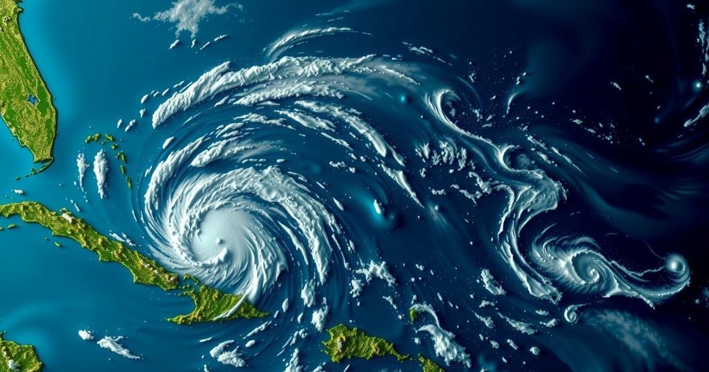
On Sunday afternoon, the National Hurricane Center designated a broad area of low pressure situated in the western Caribbean as Potential Tropical Cyclone Eighteen (PTC18). This system is anticipated to strengthen into a tropical storm by late Sunday night or early Monday morning and may continue to gain strength early in the week, potentially reaching hurricane status by midweek as it approaches the Gulf of Mexico. A hurricane watch has been placed for the Cayman Islands, indicating that hurricane conditions could occur within the next 48 hours. Additionally, a tropical storm warning has been issued for Jamaica, forecasting tropical storm conditions within the next 24 to 36 hours. The National Hurricane Center predicts that PTC18 will gradually drift northwestward, bringing heavy rainfall to regions in the western Caribbean. However, despite the potential trajectory towards the Gulf of Mexico, there remain uncertainties regarding significant impacts to the U.S. Gulf Coast due to factors such as wind shear, dry air, and cooler Gulf waters possibly inhibiting the system’s organization and integrity as it moves northward. In the larger context of the Atlantic hurricane season, the National Hurricane Center is simultaneously monitoring a trough of low pressure near Puerto Rico and Hispaniola, which is expected to result in local flooding, albeit with low chances for tropical development. Furthermore, another system in the Northern Atlantic, designated as Subtropical Storm Patty, is anticipated to cause gusty conditions for the Azores and Iberian Peninsula during the early part of the week. Historically, the western Caribbean has been a favorable region for tropical storm formation in November, although the chances of such formations generally decline as the hurricane season concludes. Data suggests that named storms tend to generate approximately once every one to two years in the final month of the season, with previous occurrences demonstrating variability in their development during November.
The topic of this article pertains to the ongoing developments in the Atlantic hurricane season, particularly focusing on Potential Tropical Cyclone Eighteen. Historically, the western Caribbean has been a known location for late-season storm formation, with varying annual occurrences. The National Hurricane Center continuously monitors areas of low pressure that could potentially develop into tropical cyclones, particularly as the season winds down. This assessment is essential for issuing timely warnings and updates to affected regions, as well as for public awareness of potentially severe weather patterns.
In summary, the National Hurricane Center’s designation of Potential Tropical Cyclone Eighteen highlights the continued threats posed by tropical systems, even as the hurricane season reaches its final stages. With hurricane and tropical storm warnings in place for various regions, it remains crucial for residents to stay informed and prepared for possible disruptions. The patterns of tropical development in the Caribbean during November illustrate the dynamic nature of the hurricane season, warranting close monitoring as conditions evolve.
Original Source: weather.com


