Magnitude 7 Earthquake Triggers Tsunami Warning for California’s Coast

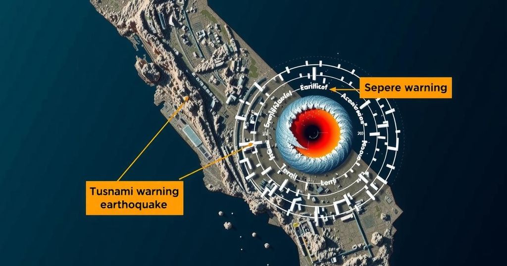
A magnitude 7.0 earthquake near Petrolia, California, prompted a tsunami warning from southern Oregon to San Francisco. The quake, felt in Humboldt County, originated from the San Andreas fault and led to evacuation advisories along the coast. Preliminary economic loss estimates indicate potential damages of up to $100 million.
On Thursday at 10:44 a.m. local time, a magnitude 7.0 earthquake occurred near Petrolia, California, prompting a tsunami warning that extended from southern Oregon to San Francisco. This seismic event impacted areas across Humboldt County and was attributed to activity along the San Andreas fault. The tsunami warning issued just five minutes later indicated that waves could reach Fort Bragg by 11:10 a.m. and arrive in San Francisco by 12:10 p.m. Residents in the affected areas were advised to evacuate inland, away from coastlines and beaches to ensure their safety.
The National Tsunami Warning Center emphasized the urgency of the situation, advising individuals to “move out of the water, off the beach, and away from harbors, marinas, breakwaters, bays and inlets.” Lines at the Petrolia Fire District indicated that local residents had felt the earthquake’s impact, exemplifying the quake’s reach and seriousness. Earthquake magnitude, measured on the moment magnitude scale, is pivotal in assessing potential repercussions.
According to guidelines provided by Michigan Technological University, the strength of earthquakes is classified numerically, with magnitudes below 2.5 generally not felt and those 8.0 or greater capable of catastrophic destruction. Preliminary evaluations by the US Geological Survey estimate significant economic losses, highlighting a 32% chance of damages ranging from $1 million to $100 million, with a 15% chance of exceeding this. This event, therefore, underscores both the intensity of seismic activity in California and the accompanying risks posed to communities along the coast.
California is a region notably prone to seismic activity due to the presence of fault lines, primarily the San Andreas fault. Earthquakes vary in magnitude and intensity, influencing potential damage and response measures. The moment magnitude scale is the authoritative method for quantifying earthquake strength, and knowledge of this scale is crucial for emergency preparedness. Tsunami warnings are a critical aspect of coastal safety, guiding residents to take timely actions to protect their lives and property.
In summary, the magnitude 7.0 earthquake near Petrolia, California, has triggered a widespread tsunami warning, impacting coastal areas from Oregon to San Francisco. The urgency of evacuation and safety measures has been stressed by authorities, reflecting the severity of seismic activity anticipated across the region. Economic assessments suggest potential losses could be significant, underscoring the ongoing reality of natural disasters in this seismically active region.
Original Source: www.usatoday.com


