Magnitude 6.2 Earthquake Affects Chile-Argentina Border Region

A 6.2 magnitude earthquake hit the Chile-Argentina border region on Saturday morning. The quake, situated 203 km south of Santiago, Chile, occurred at 5:08 AM IST at a depth of 110 km. Fortunately, there have been no immediate reports of casualties or significant damage.
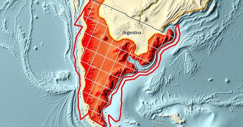
On Saturday morning, a significant seismic event measuring 6.2 on the Richter scale occurred in the Chile-Argentina border region, as reported by the National Center for Seismology (NCS). The earthquake, which had an epicenter located 203 kilometers south of Santiago, Chile, struck at precisely 5:08 AM IST and registered a depth of 110 kilometers. NCS provided these details via a post on social media platform X, stating, “EQ of M: 6.2, On: 14/12/2024 05:08:17 IST, Lat: 35.28 S, Long: 70.65 W, Depth: 110 Km, Location: Chile-Argentina Border Region.” Thankfully, there have been no immediate reports of injuries or extensive damage following this earthquake.
Chile and Argentina are both located along the Pacific Ring of Fire, a region known for its geological instability and frequent seismic activities. Earthquakes in this area occur due to the movement of tectonic plates, which regularly leads to significant seismic events. The Chile-Argentina border, being close to multiple fault lines, is particularly susceptible to strong earthquakes. Monitoring organizations such as the National Center for Seismology play a crucial role in providing timely information about seismic activities to ensure public safety.
In summary, the magnitude 6.2 earthquake that struck the Chile-Argentina border on Saturday morning serves as a reminder of the geological activity prevalent in this region. While there have been no immediate reports of casualties or damages, the incident highlights the importance of preparedness and monitoring seismic activities in areas prone to earthquakes.
Original Source: www.zeebiz.com


