Satellite Detection of Flood Extents in Botswana as of March 2025
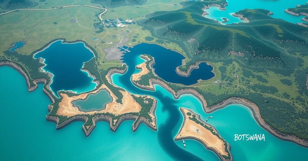
Satellite imagery from March 4, 2025, shows flood extent in Gaborone, South East, and Kgatleng Districts, Botswana. Of a 700 km² area analyzed, approximately 7 km² is still affected by floodwaters, with a notable receding area of 23 km² since late February 2025. This preliminary analysis requires validation through field checks.
As of 4 March 2025, satellite imagery has identified water extents due to flooding in Gaborone, South East, and Kgatleng Districts in Botswana. Utilizing data from multisatellite sources, including Sentinel-2 and PlanetScope, the analysis covers an area of approximately 700 square kilometers, revealing that around 7 square kilometers remain affected by floodwaters. It is worth noting that floodwaters have receded by roughly 23 square kilometers since the assessments conducted on 23 and 25 February 2025.
This report represents a preliminary analysis, which has not been verified through on-site evaluation. The United Nations Satellite Centre (UNOSAT) encourages ground feedback to enhance the accuracy of these findings. Stakeholders are invited to contribute their observations to facilitate a thorough validation process.
The satellite-derived analysis provides essential insights into the flood conditions in Botswana as of early March 2025. Notably, there has been a significant area of floodwater reduction, although some regions remain impacted. The findings call for further validation, drawing attention to the need for on-ground feedback.
Original Source: reliefweb.int