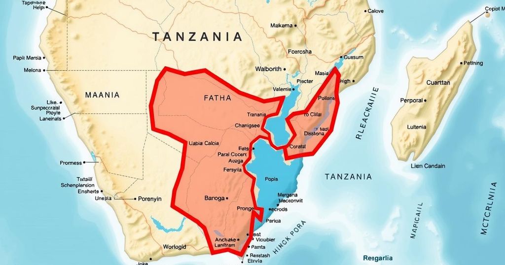
Tanzania Directs Educators to Use Official Map in Border Dispute with Malawi

The Tanzanian Ministry of Education has mandated teachers to use an official map displaying Tanzania’s view of the Lake Malawi border running through the lake’s center, rejecting alternative representations like Google Maps. This directive is part of broader educational efforts to promote national identity. Government officials indicate ongoing diplomatic talks with Malawi about the border issue, emphasizing peaceful relations despite the dispute.
The Tanzanian Minister of Education has mandated that all educators utilize an official map authorized by Tanzania, depicting the disputed Lake Malawi border. This directive, outlined in a letter numbered PA.211/229/02/88, asserts that the border bisects the lake rather than aligning with its shoreline. The ministry has instructed educational institutions to adopt this official map for teaching purposes, cautioning against reliance on digital representations such as Google Maps, which inaccurately portray the lake as entirely Malawian. In light of this directive, Tanzania emphasizes the importance of educating students about the correct borders and national sovereignty.
Government spokesperson Greson Msigwa reaffirmed the ongoing discussions between Tanzania and Malawi regarding the lake’s boundaries, emphasizing that amicable relations persist amidst this long-standing territorial dispute. The border contention, deeply rooted in historical colonial agreements and treaties, has not escalated into conflict, despite both nations holding divergent claims over ownership of the lake. The directive from Tanzania’s education ministry is a strategic effort to reinforce national identity through the educational framework, expecting teachers to integrate the specified map into their lectures.
Continued negotiations aim to foster a peaceful resolution to this complex issue, highlighting the delicate balance required in international relations. As education plays a pivotal role in shaping perceptions of territorial sovereignty, the implications of this directive extend beyond the classroom, influencing national discourse on the dispute. The historical context of the border dispute further illustrates the significance of clarity in national mapping, showcasing the intricate dynamics of regional politics between Tanzania and Malawi.
The ongoing border dispute between Tanzania and Malawi over Lake Malawi, also known as Lake Nyasa, has a complex history rooted in colonial agreements. Tanzania asserts that the proper demarcation runs through the lake’s center, while Malawi claims ownership of the entire water body based on a 19th-century treaty. This conflict has persisted for decades without escalating to armed conflict, but it remains a sensitive issue between both nations. Recently, Tanzania’s Minister of Education issued a directive to enhance national identity through educational measures, thereby emphasizing the importance of using the official Tanzanian map depicting the lake boundary.
The Tanzanian government’s directive to educators regarding the use of an official map illustrates the nation’s commitment to asserting its territorial claims amidst a protracted dispute with Malawi over Lake Malawi. By mandating adherence to this map in educational institutions, Tanzania aims to reinforce national identity and properly inform the youth about their country’s borders. The ongoing diplomatic dialogue remains critical for resolving this dispute amicably, demonstrating resilience in maintaining positive relations despite historical tensions over territorial claims.
Original Source: malawi24.com


