From Messy Wave to Hurricane: The Forecasting Challenges of Hurricane Oscar

On Friday night before Hurricane Oscar, models indicated a mere 10% chance of development. By Saturday afternoon, it intensified into a Category 1 hurricane impacting the Bahamas. Initial computer models failed to predict this change, but human analysts were able to raise alarms promptly. The situation illustrates the challenges of forecasting small hurricanes and the vital role of reconnaissance data in storm monitoring.
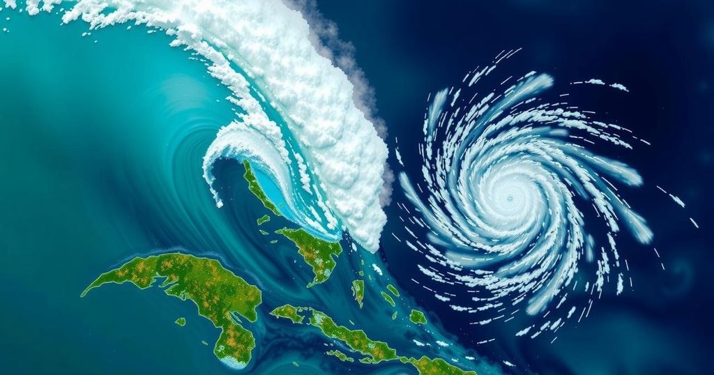
On the evening preceding the weekend, a disorganized tropical wave positioned east of Puerto Rico was estimated to have only a 10% likelihood of intensifying into a more formidable system. By the afternoon on Saturday, however, it had transitioned into Hurricane Oscar, a Category 1 storm making its approach towards the Bahamas. Meteorologists attributed this swift change to an oversight by primary computer models, which largely ignored the storm’s potential. Nonetheless, human analysts observing the incoming data, along with data collection efforts from pilots and researchers, successfully raised alarms ahead of Hurricane Oscar’s landfall. Philippe Papin, the forecaster in duty at the National Hurricane Center that Saturday, identified an issue while analyzing passive microwave imagery, which provides scientists with insights beneath cloud cover. He noted the emergence of a low-level swirl, indicative of developing storm conditions. “It became pretty clear that a small circulation was developing,” he remarked. This prompted an urgent revision of forecasts, leading to the issuance of the first official Tropical Storm Oscar prediction, which outlined its trajectory towards the Bahamas and Cuba and resulted in the Bahamas issuing a tropical storm warning. Concurrently, a hastily assembled team of Hurricane Hunters departed from St. Croix to collect critical data. They discovered a markedly different atmospheric scenario than had existed previously in the vicinity of Puerto Rico, with the aircraft unable to detect tropical-storm-force winds until they were within 10 nautical miles of the center. By 2 PM, the system was officially designated Hurricane Oscar, significantly minimizing the preparation time for the affected islands, with only 12 to 24 hours’ notice compared to the usual 48 hours. Hurricane Oscar made landfall on Great Inagua Island in the Bahamas on Sunday morning, later impacting the eastern coast of Cuba that evening. In examining the deficiencies of the computer models that failed to predict Oscar’s formation, it is worth noting that the system had initially shown promise as it departed from the African coast over a week prior. Early assessments indicated that the developing system had a viable chance of becoming a tropical depression or stronger. However, a surge of dry air diminished such prospects, leading the models to establish that the storm was likely to dissipate. A reconnaissance mission determined that the system remained a mere tropical wave by Friday, and thus, major hurricane models predicted no immediate threats in the Caribbean or Atlantic. By Saturday morning, however, circumstances had drastically changed. According to Phil Klotzbach, a senior research scientist at Colorado State University, the models struggled to resolve the storm’s circulation adequately before reconnaissance validated its emergence. He noted, “It’s not like the models didn’t have signals; they had them and then it killed them off.” The reconnaissance data collected was subsequently integrated into the models, allowing them to catch up with Oscar by the afternoon. It became evident that Oscar was a small storm with hurricane-force winds only extending five nautical miles from its core. Although Oscar was indeed minor in scale, it did not register among the smallest hurricanes documented by the National Hurricane Center since 2004. Klotzbach remarked on the challenges posed by such small storms, citing Hurricane Humberto in 2007 and Hurricane Jeanne in 2004 as examples of previously recorded smaller storms. While Oscar had a radius of 34 nautical miles upon hurricane classification, it illustrated the unpredictability often associated with forecasting smaller storms. In summary, Hurricane Oscar’s rapid escalation from a tropical wave to a hurricane underlines the limitations of current computer modeling in predicting the behavior of small storms. This situation accentuates the vital role of human observation in storm forecasting. Accurate monitoring and data collection can significantly impact preparedness in tropical situations, as evidenced by the timely recognition that occurred just hours before Oscar’s landfall.
The rapid development of hurricanes poses significant challenges for meteorologists, particularly when it comes to accurately forecasting their behavior and potential impacts. Understanding the limitations of current forecasting models, especially regarding small storms, highlights the critical importance of human analysis and observation in conjunction with technological aids. This case involving Hurricane Oscar illustrates this complexity.
The erratic nature of Tropical Storm Oscar, which transformed into Hurricane Oscar within a short timeframe, showcases the inadequacies of existing computer forecasting models in predicting small storms. However, the ability of trained professionals to analyze data and respond quickly played a crucial role in alerting affected regions ahead of the hurricane’s landfall. This incident underscores the necessity for a combination of both technological and human input for effective weather predictions.
Original Source: www.miamiherald.com


